Hi-Land Digital Surveyors is a land survey & mapping Company in Thrissur & Alappuzha.
We are Hi-Land Digital Surveyors & Mapping Co. Kerala's leading land survey consultants for the past one decade and more. We work with the latest technology and equipment in the field.
Hi-Land Digital Surveyors & Mapping Co. started in the year of 2009 in Athani- Trissur, 2020 to start our supporting office in Kalavoor- Alappuzha with two partners who's in the survey field for more than 10 years . Since inception, Hi-Land Digital Surveyors & Mapping Co. is proved to be quite successful in bagging prestigious projects from our prestigious clients and we are able to complete kilometers in length which include State Highway, Route Survey for Water supply and sewerage schemes, Topographic Survey etc.and the property survey for the Flat Promoters and the Architects, which covered a huge Sq. Ft. With our work ethic combined with teamwork and trust, we are quite confident that we can continue to provide our services, which shall exceed our customer's expectations.
Professional Land Surveyor
Also called a “Licensed Land Surveyor”, the Professional Surveyor is an accredited professional who conducts land surveys to measure and define real property and its boundaries. The professional may denote their certification as Professional Surveyor (P.S.), Licensed Surveyor (L.S.), Professional Land Surveyor (P.L.S.), Registered Land Surveyor (R.L.S.), Registered Professional Land Surveyor (R.P.L.S.), or Professional Surveyor and Mapper (P.S.M.).
Licensed Surveyors may work as a sole proprietor or contract surveyor, or may be employed by a Land survey company. Land surveying companies often take the form of a survey coordination firm, where a large network of professional surveyors are contracted by a smaller group of staff professional surveyors. The staff surveyors serve as the single point of contact with the client, coordinate with the contract surveyor to conduct the land survey, and then review the land survey or “plat” for the client’s specifications and quality assurance/quality control.
Licensed Surveyors are considered distinct from professional engineers; however, the fields are often closely related, particularly in civil engineering.
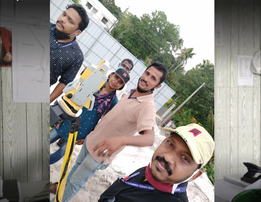
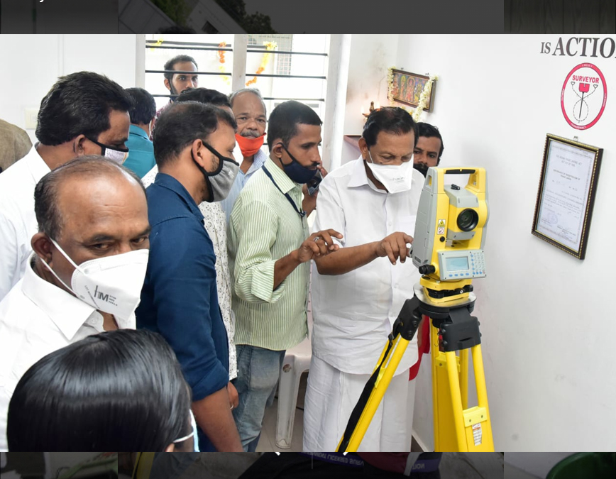
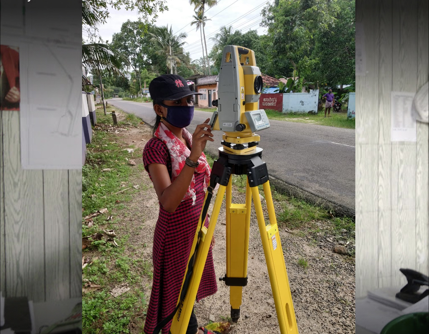
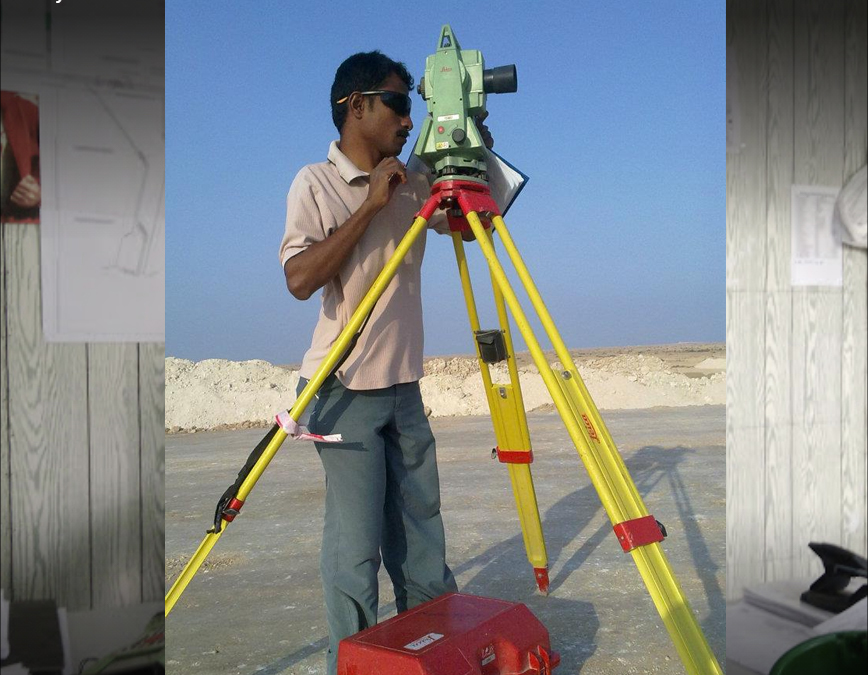
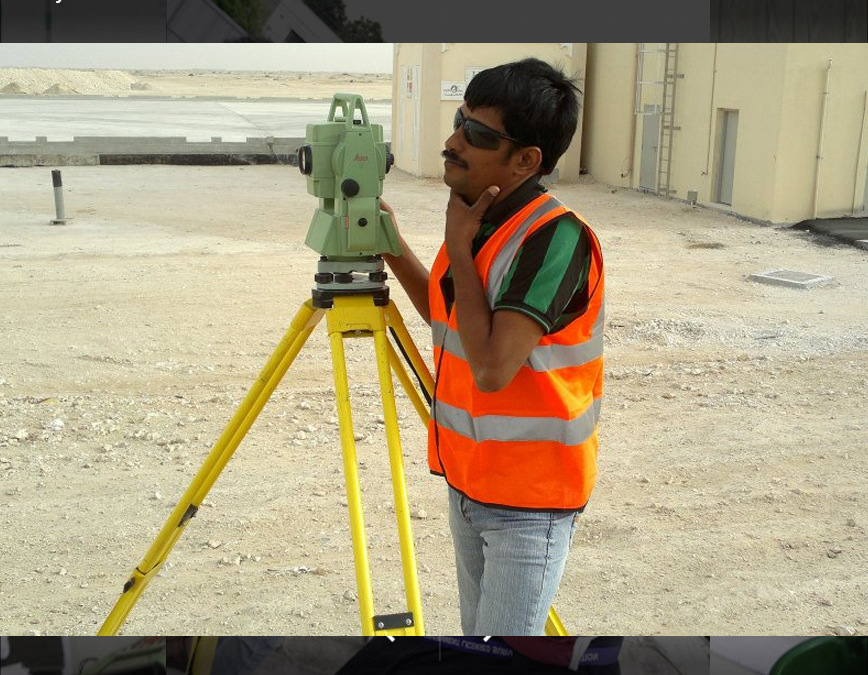
Our Work
Bringing the land profile to your desktop using latest technologies and provide a quality service, which fulfills customer's requirements 1st Phase in Survey
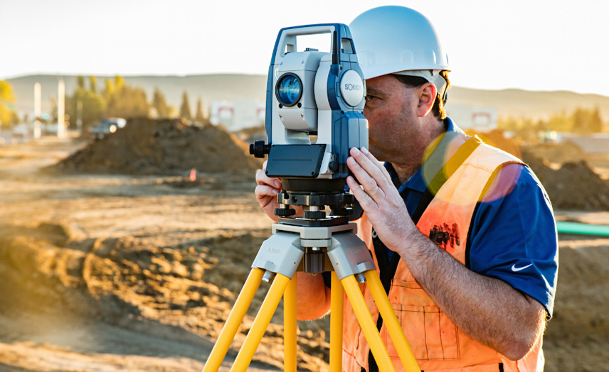
Conducting Survey as per client's requirements . This is the most important part because we have to understand your requiremets clearly for a better output.
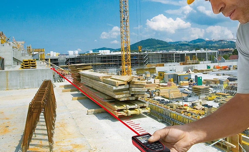
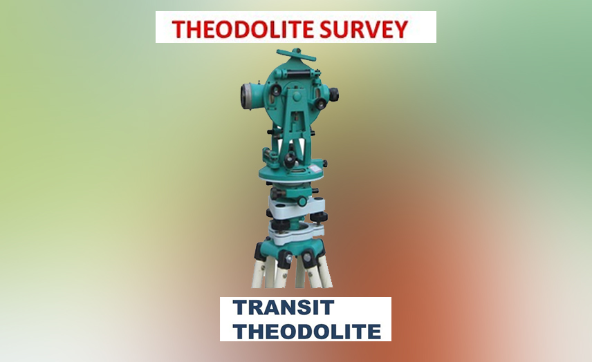
We work with the latest technology and equipment in the field.
We Offer The Best Services To You . 2nd Phase in Survey
Surveyed data is downloaded to the computer and then processing with some international softwares preparing the digital drawings automatically 3rd Phase in Survey
In our CADD section , we are fine tuning the drawings which reduces the errors and preparing plotted drawings in AUTOCAD 4th Phase in Survey
After preparing the digital drawing of the Surveyed data , with the international softwares , we are submitting them (Plotted drawings) to the client along with a Hard copy, Messege to whatsup & e-mails .